


Northwest Iowa (KICD)—Mother Nature showed her teeth a bit over the weekend in what turned out to be a very busy Saturday in the weather department.
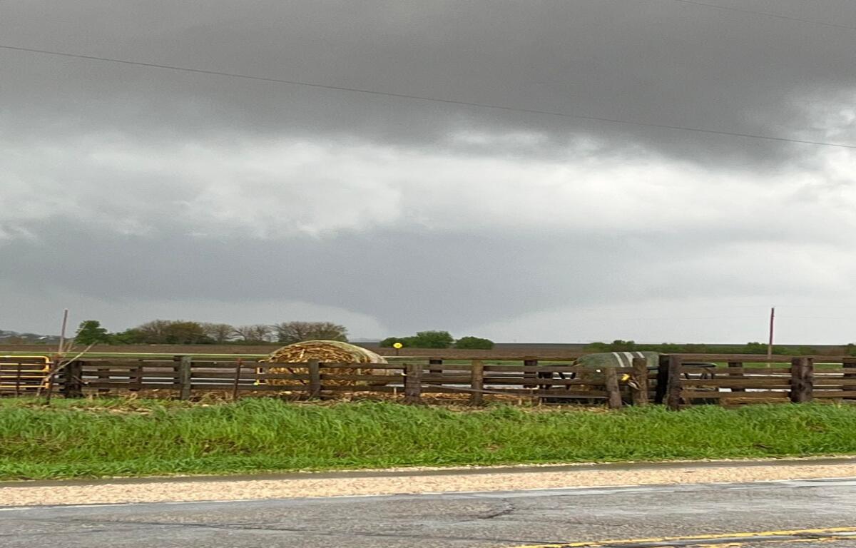
The afternoon of severe weather concerns began shortly after one o’clock with the issuance of a Tornado Watch for a handful of local counties and quickly turned into a series of warnings in southwestern Buena Vista County and at least two reports of brief touchdowns in the Albert City and Alta areas before the storms appeared to weaken for a short amount time.
Fast forward to about 4:30 when a second, more long-lived, session of Tornado warnings began this time in Eastern Buena Vista and Western Pocahontas Counties with twisters reported on the ground near touching down near Fonda, Pomeroy, Pocahontas and later Mallard when the storms reached into Palo Alto County.
Heavy rain also quickly became an issue with a Flash Flood Warning being issued just before 7:45 in parts of Palo Alto and Pocahontas Counties after multiple communities reported daily rainfall totals of two to six inches including a report of seven and a third in Laurens, more than three of which fell in the span of an hour and led to major flooding around town. The full list of rain reports can be found at kicdam.com.
In the end, many of the reported tornadoes stayed over rural areas keeping damage reports fairly minimal with the exception of some damage to a grain bin site northeast of Pomeroy and a home near Newell. The exact number of touchdowns will be determined from additional research by weather officials with, however, no formal ground surveys are currently planned by the National Weather Service in Des Moines, the office covering much of area seeing severe weather on Saturday.