


Spencer, IA (KICD)—Mother Nature did her best to make for a long day of multiple rounds of severe weather on Saturday.
The first round moved through in the early morning hours not really producing much for reports or damage as the line of storms entered the area around 4:30 Saturday morning moving at nearly 70 mph before slowing down and dropping between around a half and three-quarters of an inch of rain.
The second and more severe round of storms formed in the late afternoon hours in Eastern South Dakota and would get to Northeastern Cherokee and Northwestern Buena Vista Counties before the initial Severe Thunderstorm Warning was issued which was soon replaced with a tornado warning when radar began producing indications of rotation near Rembrandt and Truesdale with a couple of reports of funnel clouds also accompanying those warnings.
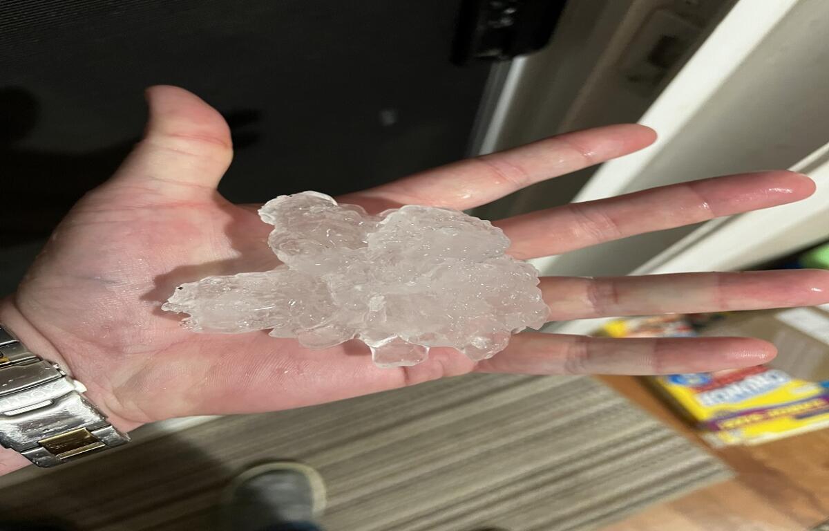
Perhaps the nastiest of Saturday’s storms traveled along Highway 18 in Palo Alto County producing hail stones two to three inches in diameter leading some residents to fear whether or not their windows would hold up to large chunks of ice.
Any storm or damage reports are greatly appreciated anytime severe weather hits. Information can be called into 800-232-1240 or emailed to weather@spencerradiogroup.com.