


Multiple Tornadoes Confirmed in Northwest Iowa From Tuesday Severe Weather
Northwest Iowa (KICD)– The National Weather Service Forecast Offices serving Northwest Iowa have confirmed multiple tornadoes touched down during Tuesday’s severe weather event.
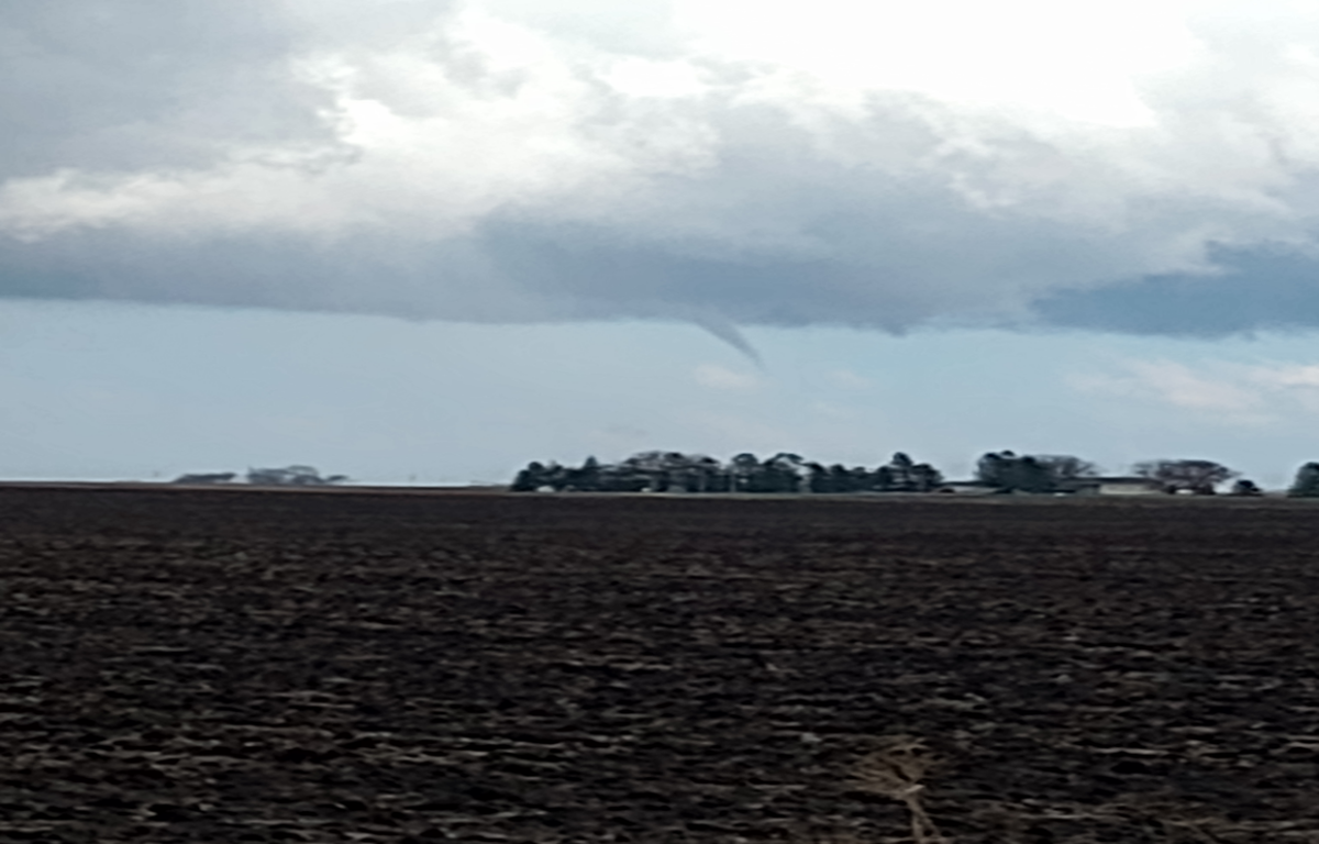
Survey teams in Des Moines have found five brief tornadoes reached the ground from the cell that tracked north from Calhoun to Pocahontas, Palo Alto, Kossuth and Emmet Counties with the strongest being the first tornado east of Rockwell City which has been given an EF-1 rating with maximum winds estimated to be around 100 miles per hour. That 75-yard wide funnel was on the ground for twelve minutes and covered just of six miles during that time.
Other tornadoes with that cell included a two minute spin-up near Manson that was on the ground for about two thirds of mile, a five minute touchdown that traveled two miles near Palmer and a 1.7 mile path near Rolfe. All of those tornadoes were given an EF-U rating since it appears they stayed mostly in open areas with very limited damage indicators.
A second tornado was also confirmed on the east side of Rolfe which was rated an EF-0 which was on the ground for a little over six tenths of a mile.
The Sioux Falls NWS office has also confirmed tornadoes near Hinton and Struble that were given EF-U ratings along with an EF-0 in the Sioux Center area that had estimated peak winds at 85 mph and was on the ground for a little short of mile. EF-1 tornadoes were also determined to have been on ground near Le Mars and George which were on the ground for one and a third and two thirds of a mile respectively. Both of those funnels contained estimated peak winds around 100 miles per hour.