


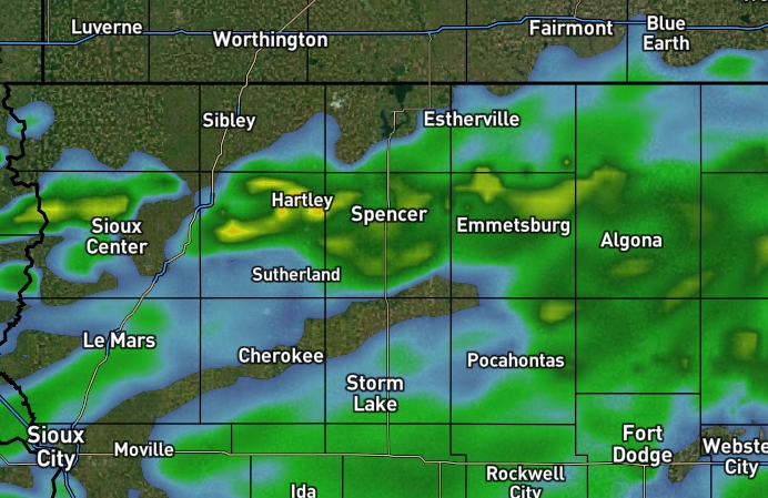
Showers will move out late this afternoon as the system moves east.

There are still signs of some weak storm energy this afternoon, mainly in parts of southwest Minnesota.

Wednesday afternoon at roughly 2 p.m., the National Weather Service in Des Moines finalized most of its damage surveys from Sunday night’s severe weather event.

Documented damage in far northwest Iowa has been ruled as straight-line wind damage.
Damage assessment is well underway after Sunday night’s storms, which brought multiple possible tornadoes and straight-line wind gust over 80 miles per hour.
Numerous towns reported power outages.

April was a very active month when it came to precipitation, severe weather, and temperature swings, which included several warm days.
Another mild and windy day continues.

Severe thunderstorms moved through the area Thursday afternoon and early evening, leading to seven Severe Thunderstorm Warnings and one Tornado Warning for northern Kossuth County.
A cold front moves across the state Thursday, separating warm air to the east from cooler air behind it.


 Listen Live