


KICD Live Doppler Forecast 3-13-26 Update — We are continuing to track a major winter storm that will impact much of the region this weekend, and while there are still some details to fine‑tune, confidence is growing that this will be a high‑impact system, especially from Saturday night through Sunday. The overall message hasn’t changed much — this storm is less about exact snowfall totals and more about the combination of snow, strong winds, and sharply falling temperatures.
The first part of the storm arrives Saturday afternoon, when many locations may see rain or a rain‑snow mix, particularly south and east of Sioux Falls. As colder air pushes on Saturday night, precipitation will change over to all snow, and that’s when impacts start to increase. Snow is expected to become heavier at times overnight and through the day Sunday, while winds ramp up significantly. Gusts over 45 to 55 miles per hour look increasingly likely, which sets the stage for widespread blowing and drifting snow.
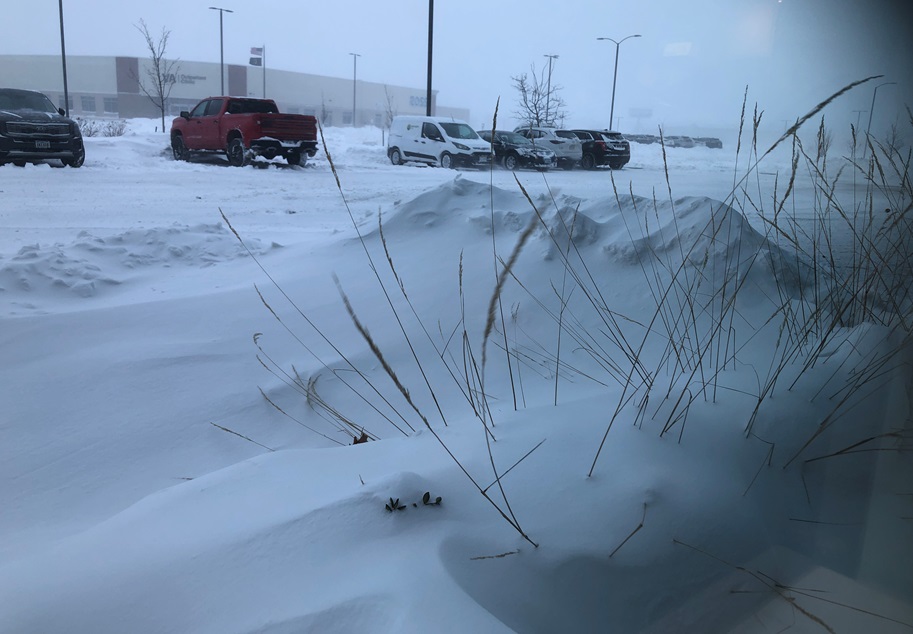
Right now, the heaviest snow is still expected north and east of Sioux Falls — into parts of eastern South Dakota and especially southwest Minnesota — where double‑digit snowfall remains possible. Sioux Falls appears to be closer to the southern edge of the main snow band, with several inches still likely, but there remains uncertainty on exactly how far south that heavier snow will shift. That said, even on the lower end of snowfall totals, blizzard or near‑blizzard conditions are very much on the table, because it doesn’t take a lot of snow when winds are strong.
Visibility could drop rapidly at times Sunday due to falling and blowing snow, particularly in open and rural areas. Roads that initially look passable can become dangerous very quickly, especially on north–south highways. Travel may become very difficult or even impossible at times Saturday night through Sunday night, and drifting snow could continue to cause issues into early Monday morning, potentially affecting the Monday commute.
One thing to keep in mind is that we’re still within the window where storm tracks can wobble north or south. We’ve seen this before with March storms — models shift north a couple of days out, then slide south again closer to the event. Because of that uncertainty, now is the time to prepare for significant winter travel impacts, even if you’re not directly in the bulls‑eye for the heaviest snow.
If you have travel plans this weekend or early next week, be ready to adjust or delay them. Make sure vehicles are winter‑ready, keep emergency supplies handy, and continue checking the forecast for updates, because changes to watches, warnings, or snowfall expectations are likely as we get closer.
Forecasted Totals:
Estherville: 13″ inches / High-End: 16″
Spencer: 8″ / High-End: 14″
Sheldon: 6″ / High-End: 13″
Algona: 11″ / High-End: 17″
Winter Storm Watch from 3/15/2026 1:00 AM to 3/16/2026 7:00 AM CDT for Buena Vista County, IA, Osceola County, IA, Sioux County, IA, Clay County, IA, O’Brien County, IA, Dickinson County, IA, Cherokee County, IA, and Lyon County, IA. Event extended (time). Winter Storm Watch from 3/15/2026 1:00 AM to 3/16/2026 10:00 AM CDT for Kossuth County, IA, Palo Alto County, IA, Emmet County, IA, and Pocahontas County, IA.
Stay Weather Aware!