The main weather concern arrives on Thursday. Showers and thunderstorms are expected to develop and move across the region, especially during the afternoon and evening as a cold front pushes through.

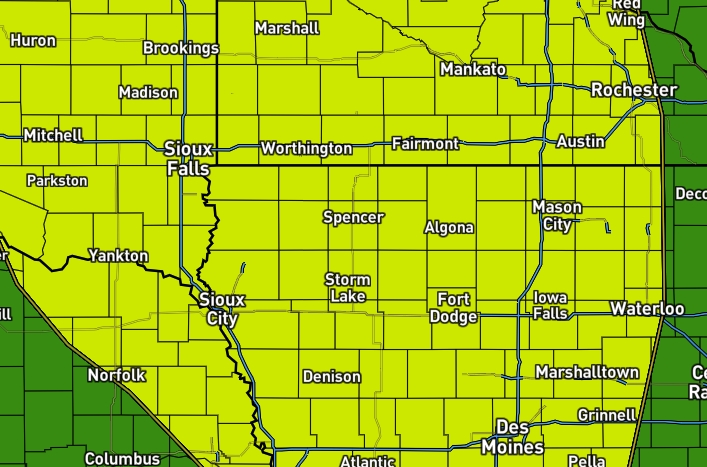
Mostly cloudy skies overnight. A light east to southeast breeze will help keep overnight lows in the 50s and lower 60s. Clouds will stick around on Thursday, keeping temperatures a little cooler than normal.

The agricultural economy continued to struggle in July, according to the latest Rural Mainstreet Index.
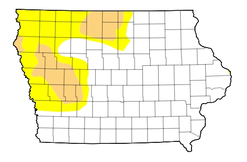
The latest USDA Drought Monitor, released Thursday morning, shows little change in drought conditions across northwest Iowa.

Residents of Terril are being advised to boil their water before consumption following maintenance work at the community’s water treatment system.

A 15-year-old male from Milwaukee, Wisconsin, escaped injury after a rollover accident Wednesday afternoon in rural Clay County.
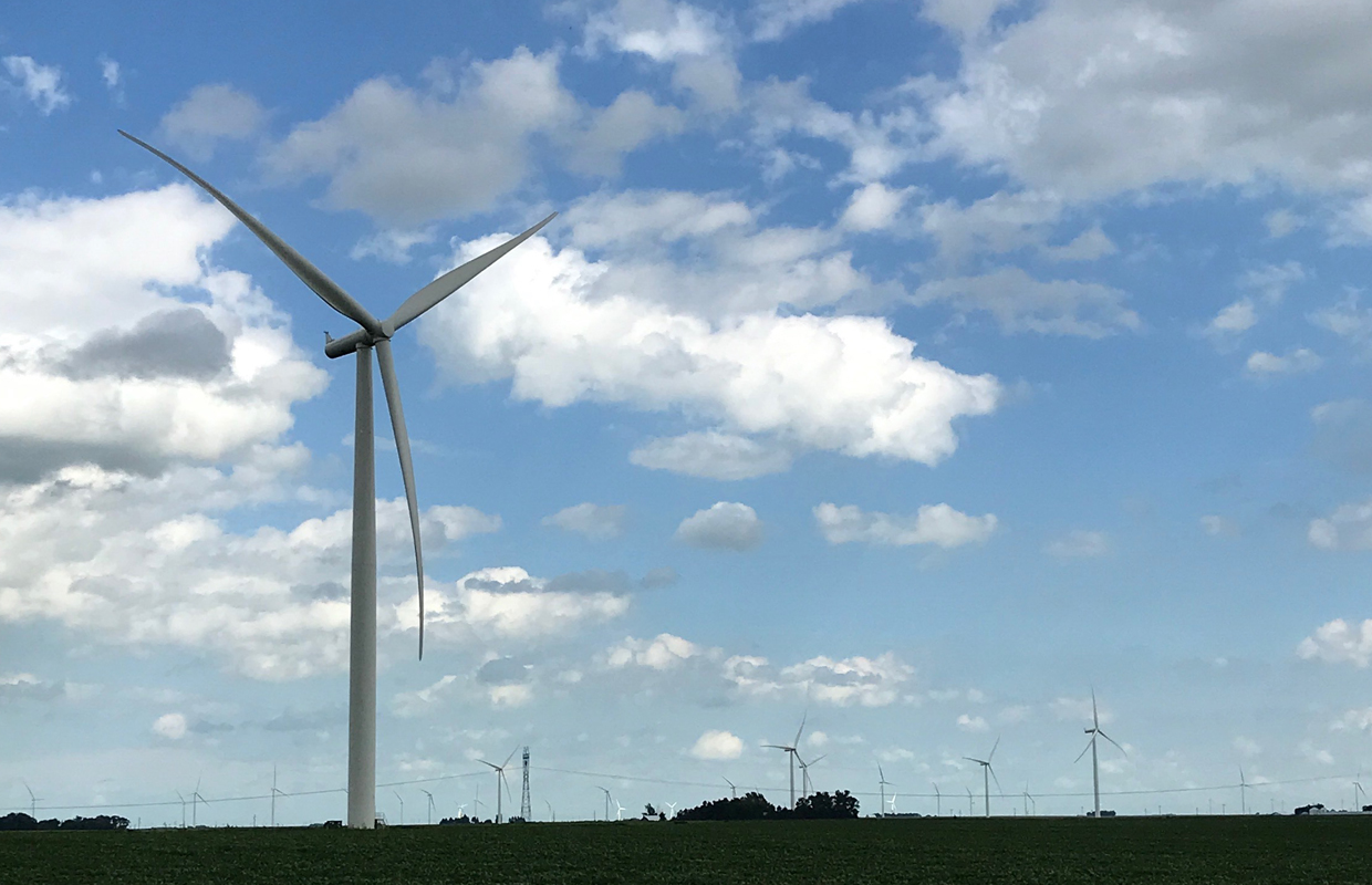
A representative of the proposed Lost Island Wind Project will provide an update on the project’s progress and timeline during the Palo Alto County Board of Supervisors meeting on Tuesday, July 21, at 8 a.m. in Emmetsburg.
Two boys were seriously injured Tuesday afternoon when their car collided with a Union Pacific train near Lakota and later caught fire.

Sweet Corn Days in Estherville is less than three weeks away, and Estherville Area Chamber of Commerce Executive Director Lexie Ruter says residents should sign up as soon as possible.
Multiple sections of County Road M-56 are expected to close beginning Monday as crews conduct culvert replacement work.

