


Des Moines, IA (northwestiowanow.com) — From 2020 through 2023, it was the 5th driest 4 year stretch on record, with drought across the state with that we hadn’t seen on a widespread scale for that long since the 1950s. We had a strong El Nino Winter to kick off the new year (2024) which is the second warmest on record, in a 52-year record for the state. And then we transition out of that strong El Nino Winter into normal conditions in the Pacific — when that happens, we generally see near normal or slightly wetter conditions in the spring across the Midwest.
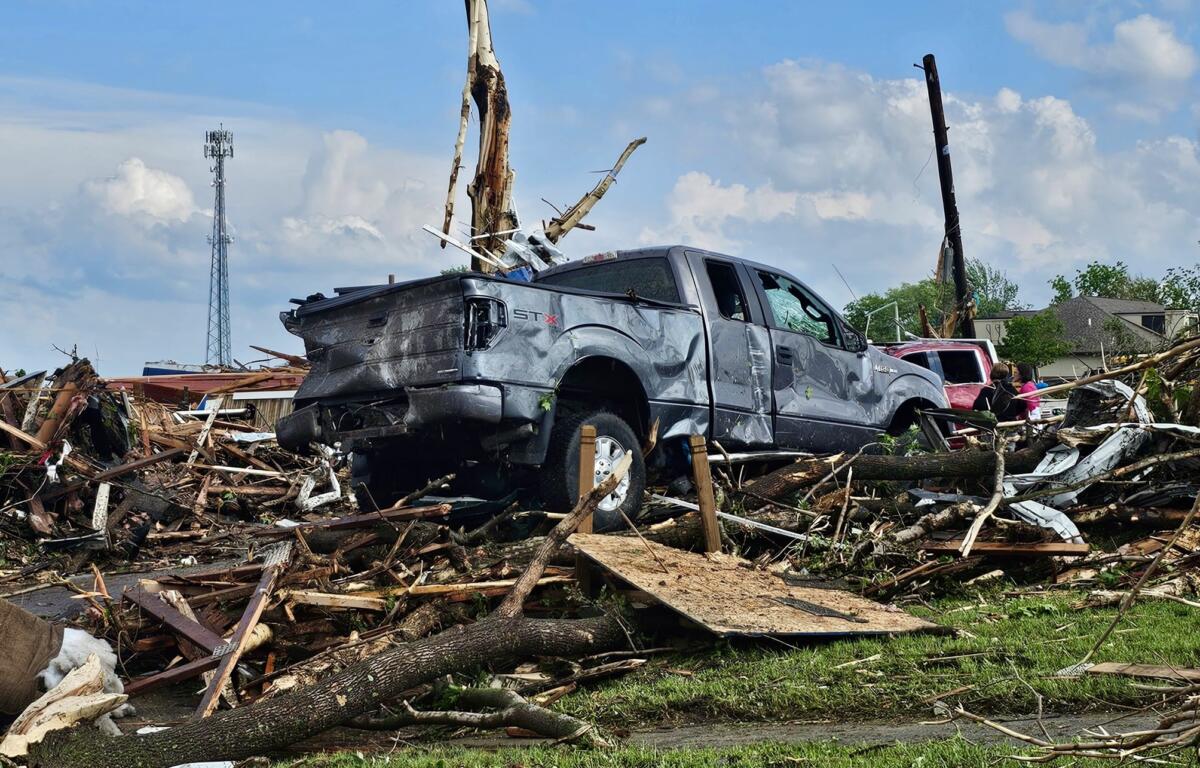
That time frame, we saw a record severe weather season across the state, unofficially 131 tornadoes, 4 EF 2 or plus tornadoes. The strongest resulting in the EF 4 Greenfield tornado on May 21st, resulting in 5 fatalities. Iowa also seen 550 severe wind reports, 258 severe hail reports — 31 of those hail reports being two inches or greater. Overall, it was the most active severe weather season on record since 2004.
Now, with the thunderstorms that we saw it busted that four-year brought, the 9th wettest start for the state through June, in a 152-year record.
Glisan mentions it’s a 500-to-1000-year annual probability an event you probably won’t see again in your lifetime.
We also experienced the driest September on record and October the 51st driest on record.
Spencer hit its year high 97 degrees in June, and we go back to January in the middle of an Arctic Air outbreak for the year low -19 degrees.
We thank State Climatologist Justin Glisan for joining us on KICD this week.
