
Spencer, IA — April 13th marked the first major day for severe weather across the region. A total of 23 warnings were issued in the listening area, including 19 severe thunderstorm warnings and 5 tornado warnings. The warning timeframe spanned from 5:30 to 8:00 p.m.
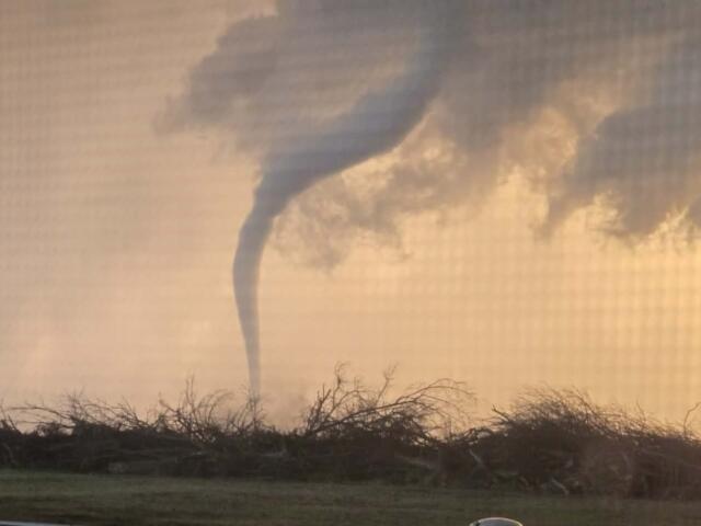
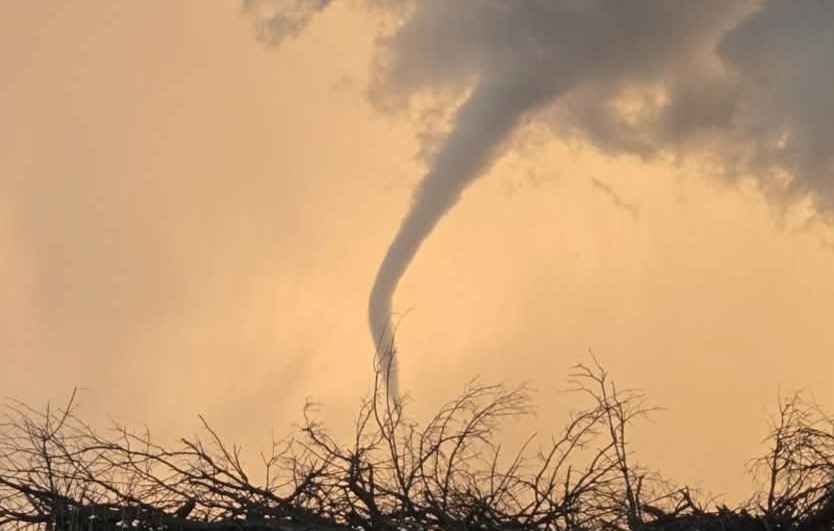
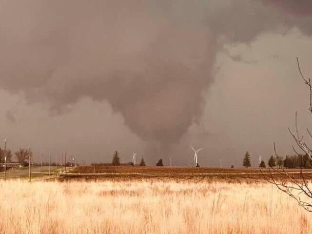
The five tornado warnings went on to produce two tornadoes. The first tornado occurred approximately 5 miles north of Emmetsburg and near rural Graettinger. While not officially confirmed, it was supported by photographic evidence. The second tornado was produced just north of Webb and was confirmed on the ground by Clay County Emergency Management and storm spotters, who called it in, along with several visible photos we received.
Large hail near rural Sanborn…

Tornado North of Emmetsburg…
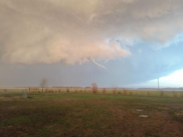
Funnel Cloud NE of Sioux Rapids…
Tornado on the ground near rural Webb…