


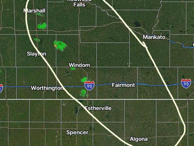
There are still signs of some weak storm energy this afternoon, mainly in parts of southwest Minnesota. This could lead to a few showers, and some may bring gusty winds up to 40 to 50 miles per hour. These showers are mainly driven by daytime heating, so they should fade away around 9 to 10 p.m.
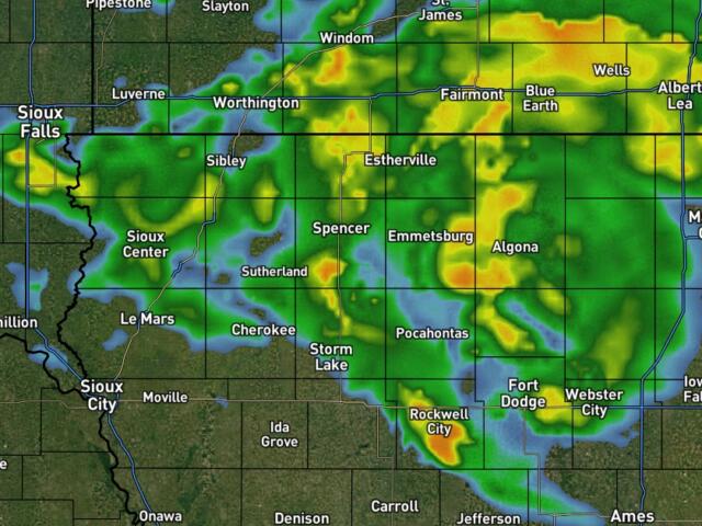
A weak system moves through Friday morning into the afternoon. With a little more moisture in the middle levels of the atmosphere and some instability, this could bring some clouds and scattered showers. If those clouds move out by mid‑afternoon, a few spotty, daytime-driven showers could develop later in the day into the evening. Impacts should be minor, but gusty winds are still possible if showers do form.
High pressure moves in Friday night into Saturday morning, which could lead to some patchy fog. The best chance would be near the Big Sioux River Valley, but confidence is low right now.
Saturday looks like a pretty nice day, with increasing clouds and light east winds. Humidity will stay low, and highs will mostly be in the 70s.
A larger system moves in later Saturday night into Sunday morning. Rain and a very small chance of thunderstorms will increase, especially south of Interstate 90. However, dry air near the ground may limit how much rain falls, and totals are now expected to be lower.
The forecast becomes more uncertain from Sunday into Monday, as models don’t agree on how the system will move out. Rain chances will likely stick around, but confidence is low on both timing and rainfall amounts.