


 Listen Live
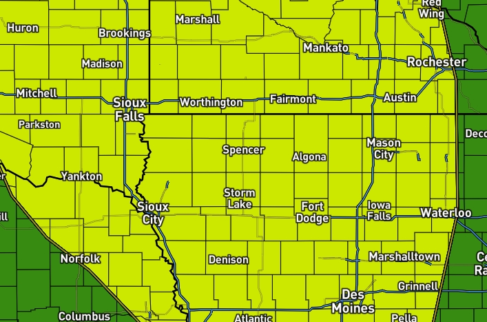

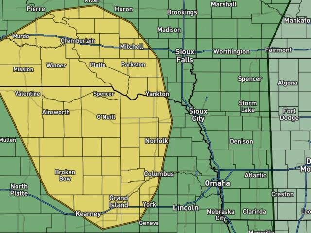
Spencer, IA — The main weather concern arrives on Thursday. Showers and thunderstorms are expected to develop and move across the region, especially during the afternoon and evening as a cold front pushes through. Some of these storms could become severe, with damaging wind gusts up to 65 mph, hail up to the size of quarters, and heavy rainfall. While the greater severe weather threat is expected to remain focused across central South Dakota and central Nebraska, Northwest Iowa remains in a Marginal Risk (Level 1 of 5) for severe weather. In other words, the chance for severe storms is there, but it remains relatively low.
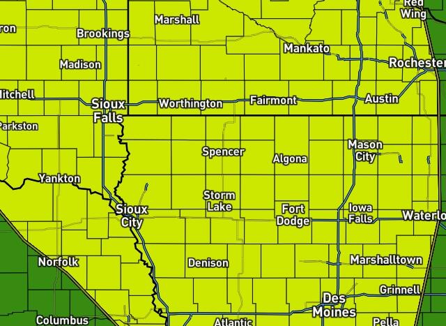
In addition to the severe weather threat, flash flooding will be possible. Northwest Iowa is under a Slight Risk (Level 2 of 4) for excessive rainfall, meaning scattered flash flooding could occur, especially in areas that receive multiple rounds of thunderstorms. Most locations will see between one-half inch and 1.5 inches of rain, but isolated areas could pick up more than 4 inches where storms repeatedly track over the same locations.
Conditions improve heading into Friday and Saturday as cooler, drier air moves into the region. Temperatures will be much more comfortable, with some areas only reaching the 70s on Friday before warmer weather gradually returns later in the weekend.