


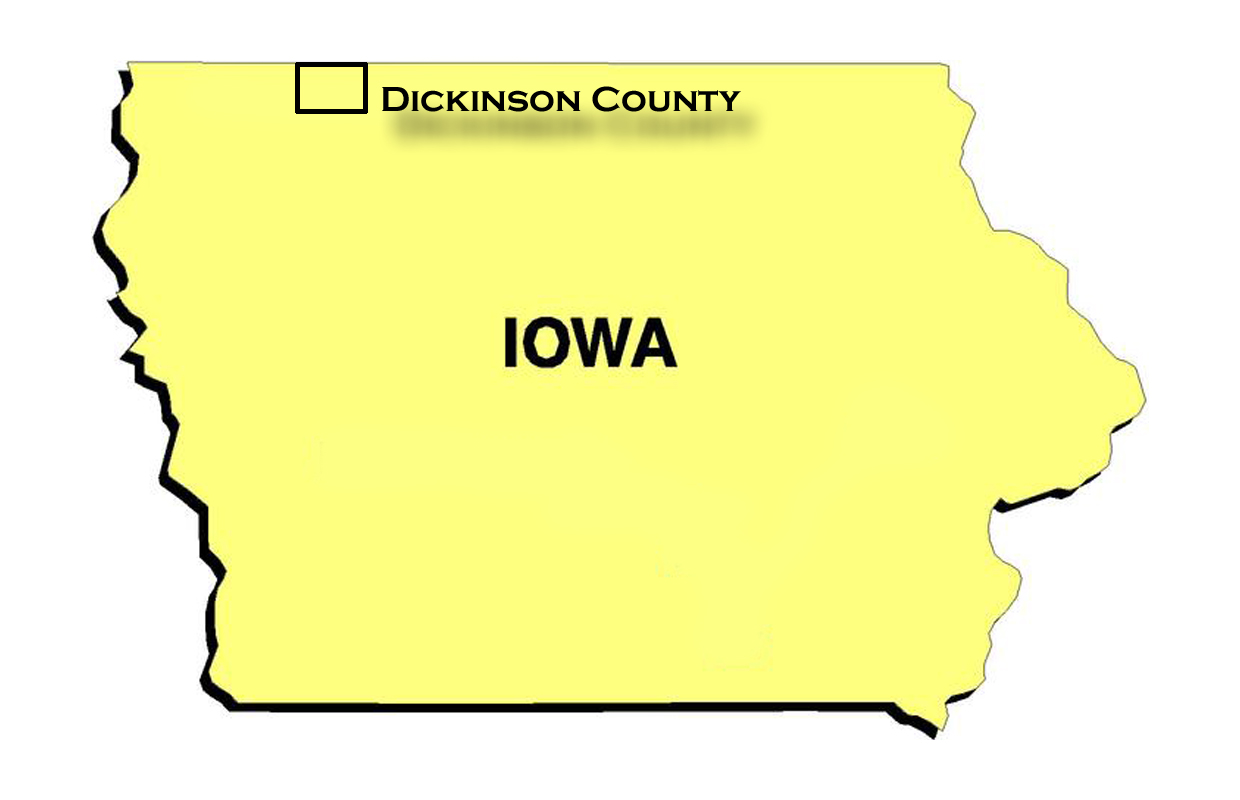
Multiple sections of County Road M-56 are expected to close beginning Monday as crews conduct culvert replacement work.

Dr. Branigan was featured on this week’s Clay County Weekly Health Update, where the main topic was gallbladder health.

Here’s a look at the weekend racing schedule across southwest Minnesota and northwest Iowa.

This Afternoon and Tonight: Clouds will continue to move across much of the area […]
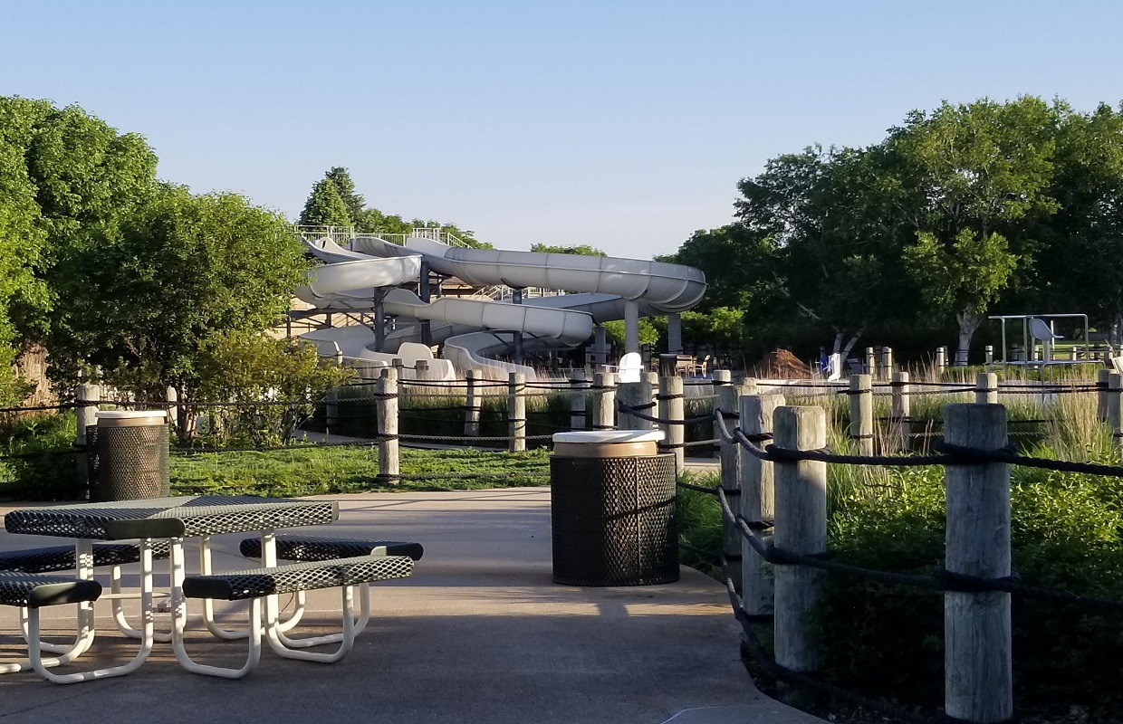
The Spencer Family Aquatic Center will be closed for the next two to three days while maintenance work is completed, according to the City of Spencer Parks and Recreation Department.
Friday: Another round of scattered showers or thunderstorms could develop by late afternoon or […]

Has this year seemed like a busier severe weather season?
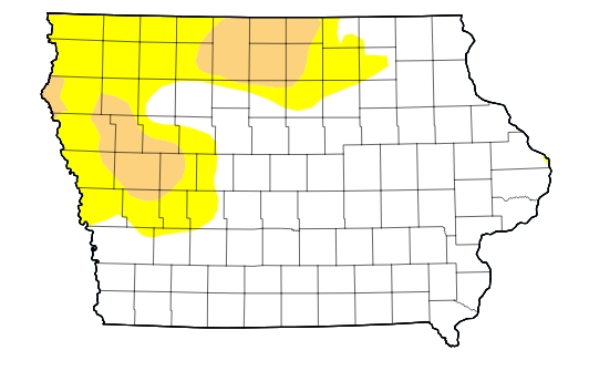
The latest USDA Drought Monitor was released today (Thursday), and conditions across the listening area continue to improve.
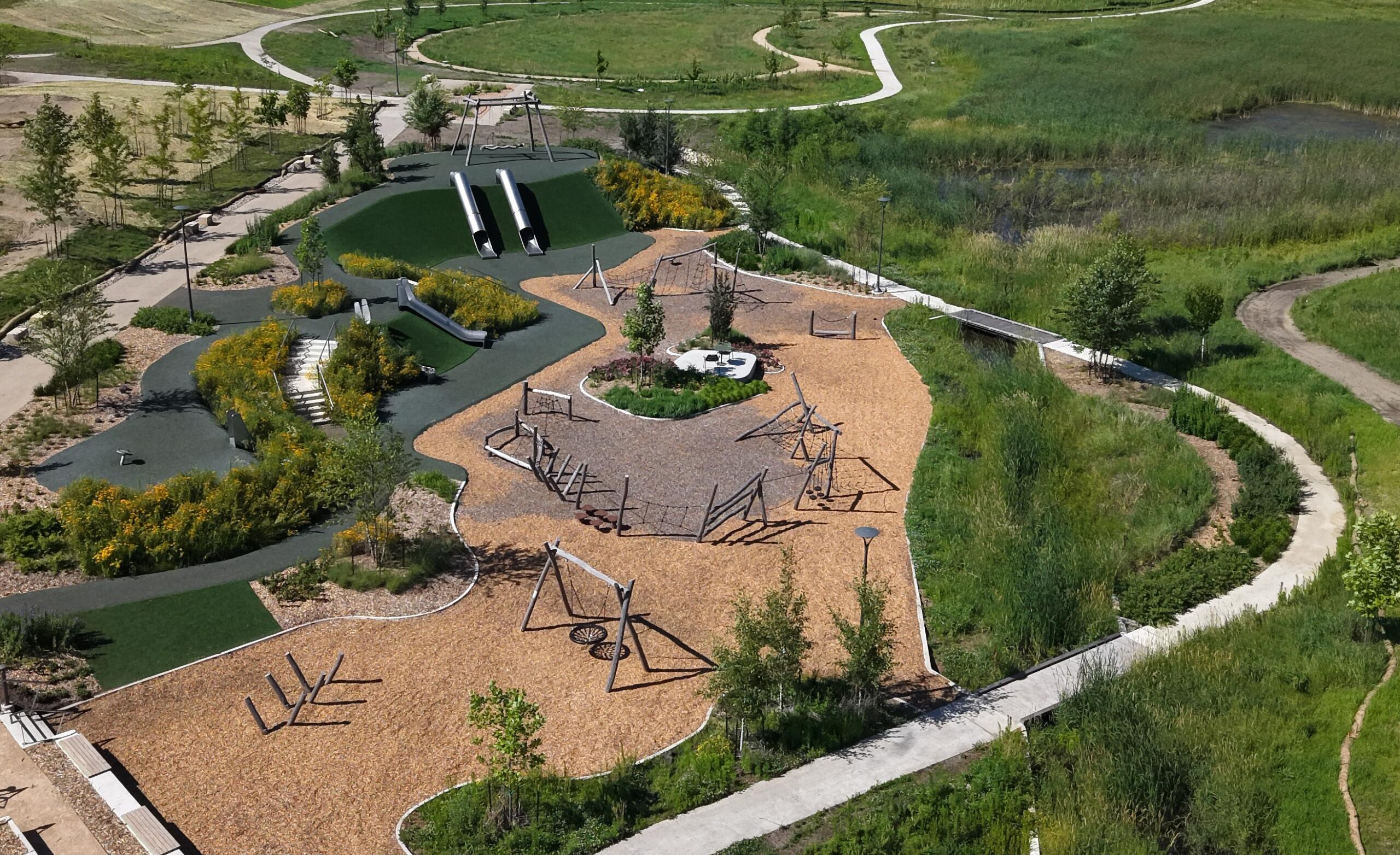
The Dickinson County Conservation Board is inviting the public to celebrate the grand opening of Sherwood Forest Park in Okoboji later this month.


 Listen Live