

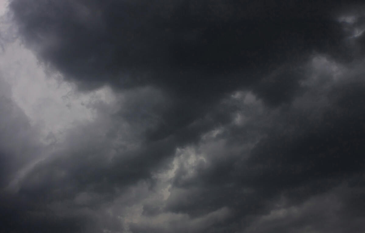

Alta, IA (KICD)– Mother Nature was once again keeping parts of Northwest Iowa on its toes Monday evening as another round of severe weather worked through portions of the area.
A few pop-up thunderstorms were seen throughout the afternoon and really did not last very long before dissapating before a longer-lived storm formed near Aurelia around five o’clock and slowly moved to the northeast.
During its journey, the storm would become warned for hail and wind in parts of Cherokee and Buena Vista Counties only to be verified around 5:45 with a report of golf ball size hail falling north of Alta. The report notes that the ground was covered in the pieces of ice with at least part of a nearby field being heavily damaged.
The entire area could potentially see more severe weather on Tuesday afternoon with wind, hail and heavy rain being the primary threat. Those with outdoor plans should be keeping a eye to the sky while also having multiple ways to receive weather information should the situation arise.